
Who we are
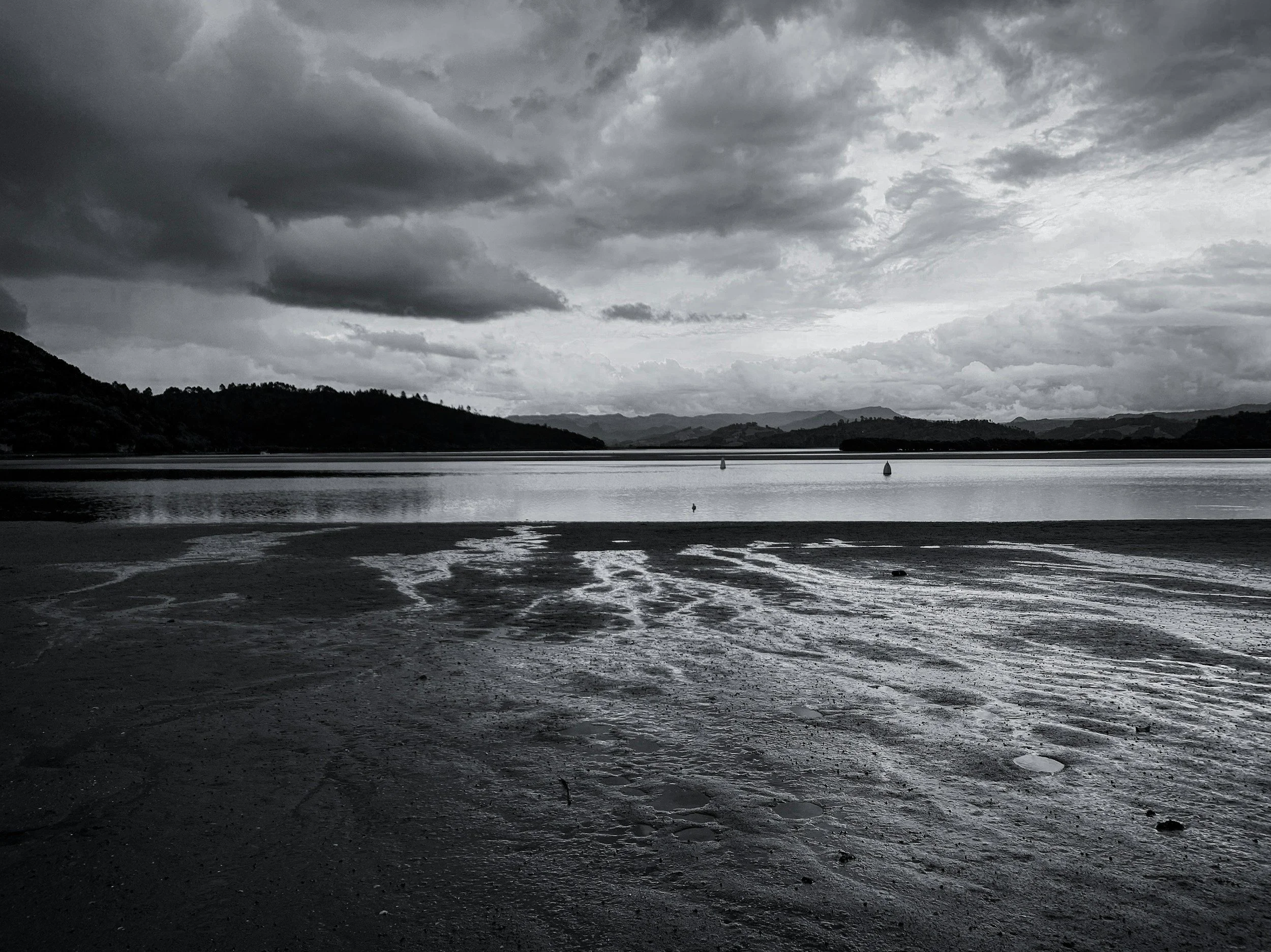
What began as a casual conversation at a local bar transformed into a vision that would eventually lead to the establishment of AquaScan, a 501c3 dedicating free drone mapping services to local, state, and federal agencies as well as shellfish farmers, tribes, and cranberry growers. Three friends, driven by a shared passion for environmental conservation and technological innovation, discussed the potential of using drones to assist aquaculture and improve bathymetric mapping for notoriously treacherous waters. Their idea quickly gained momentum as they realized the impact such technology could have on preserving aquatic ecosystems. With determination and a commitment to community engagement, they founded an organization dedicated to providing accurate mapping services while also educating and involving local communities in conservation efforts.

Our Services
-
Craft a high-resolution 3D model of your property
-
Analyze crop health and monitor invasive species
-
Point-cloud data ensures survey-grade accurate erosion detection
-
We will soon be able to spray herbicide, fertilizer, both liquid and dry formulation. We can even plant seeds!